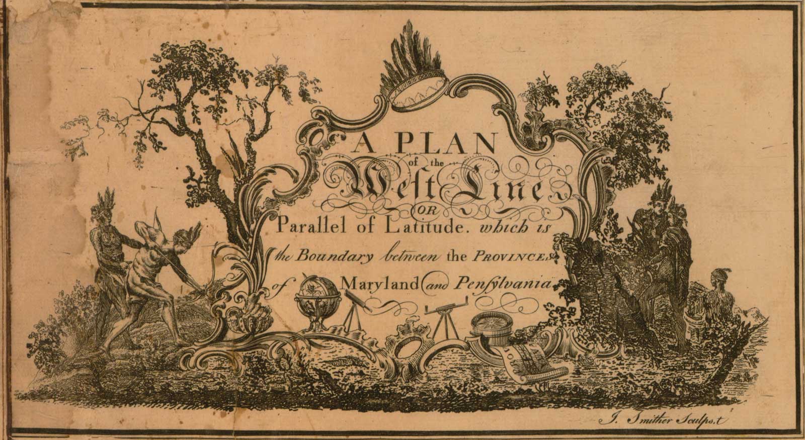
Mason and Dixon arrived in Philadelphia in November 1763, accompanied by a shipload of the best surveying instruments England had to offer, among them were two transits; two reflecting telescopes “fit to look at the Posts in the Line for ten or twelve miles;” a Hadley’s quadrant; astronomical clocks; star tables; several sixty-six-foot Gunter chains; ten-foot measuring rods made from precision-cut softwood, tipped with brass, and equipped with a builder’s level; and a zenith sector with a six-foot radius.
The sector was their most precious instrument. It was essentially a telescope fitted with micrometers that were capable of measuring the angular distance to stars. The Mason-Dixon sector was built by the London-based John Bird and was a scaled-down version of the most accurate astronomical instrument then in existence, the twenty-five-foot zenith sector at the Royal Observatory. The smaller, highly sensitive instrument was accurate to within two arc seconds (less than two hundred feet on the ground), and would have to travel the deeply rutted trails of New England’s backwoods on a feather mattress set above the springs of a single-horse, two-wheeled cart.
To ensure the measuring rods were in calibration Mason and Dixon also carried with them a brass standard that was a duplicate of the one held under lock and key in the Tower of London. Every morning and afternoon, Mason and Dixon used a microscope to compare the lengths of the four measuring rods to the standard, which probably measured to within .01 of an inch. Any differences in the rods were duly noted in their notes along with the ambient temperature since contractions in the rods caused by cold temperatures could leave a discrepancy of as much as fifteen inches per mile.
With Mason carrying out the tasks of the astronomer and Dixon the surveyor, the crew, on a good day, could measure out about eight chains or 528 feet an hour. About every twenty miles their progress would be checked through astronomical observation. Using the zenith sector, Mason might make as many as 134 observations on five different stars, a process that could take as many as three consecutive nights.
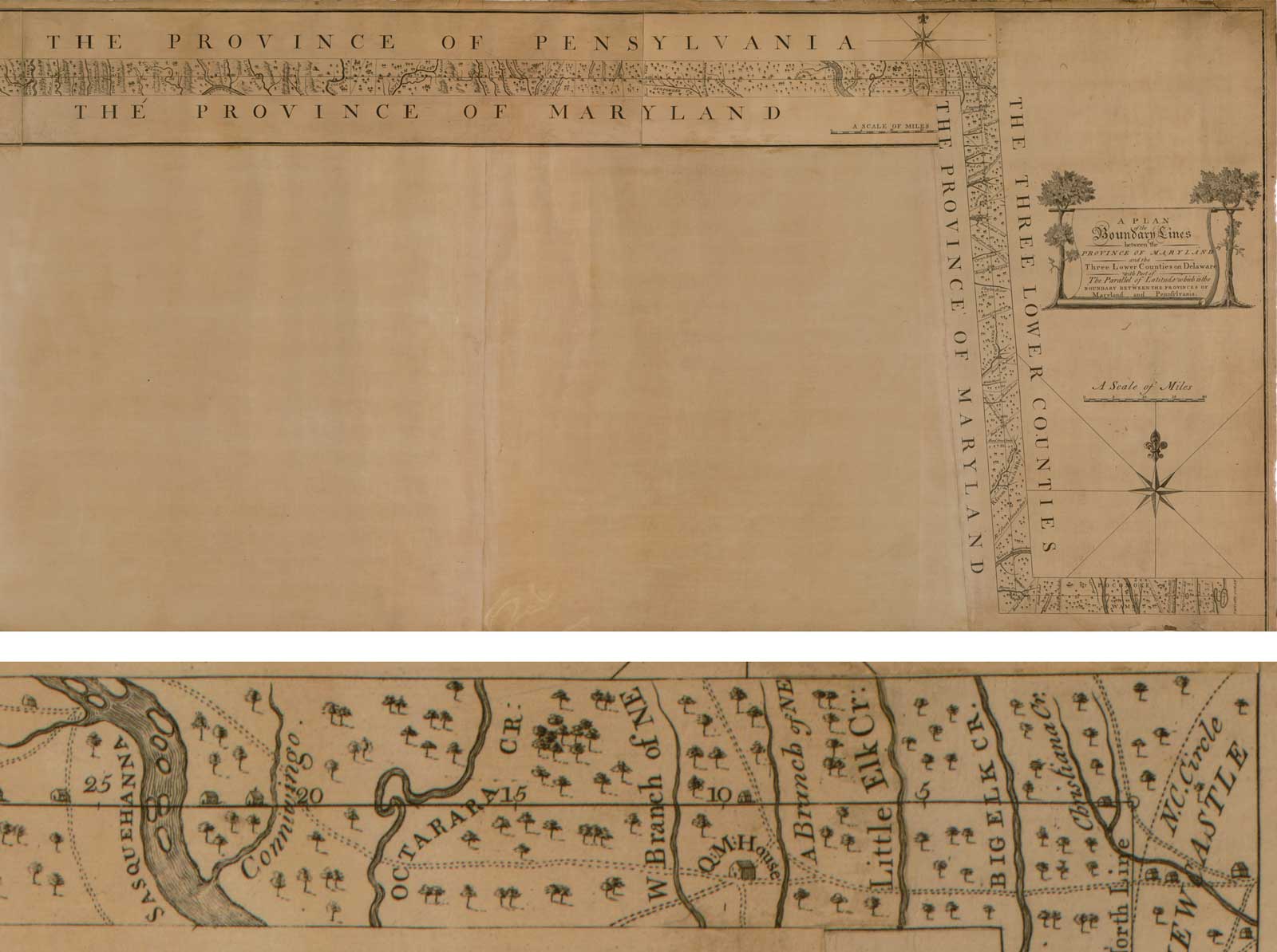
Winter came early in the high altitudes. Knee-deep snow and frigid temperatures hampered the survey crew’s trek back to Philadelphia from Dunkard Creek. Due to the lateness of the season, they were unable to set the last of the four-hundred-pound rectangular limestone boundary markers that had been shipped from England. For most of the border, however, the stones were ejected every mile, with every fifth stone, or “crown stone,” marked with the coat of arms of the two English patrons. Standing on a high summit earlier in the survey, Mason looked back on the twenty-five-foot-wide path that their crew had cut through the bush and called the line of white marker stones “very beautiful, and agreeable to the Laws of a Sphere.”
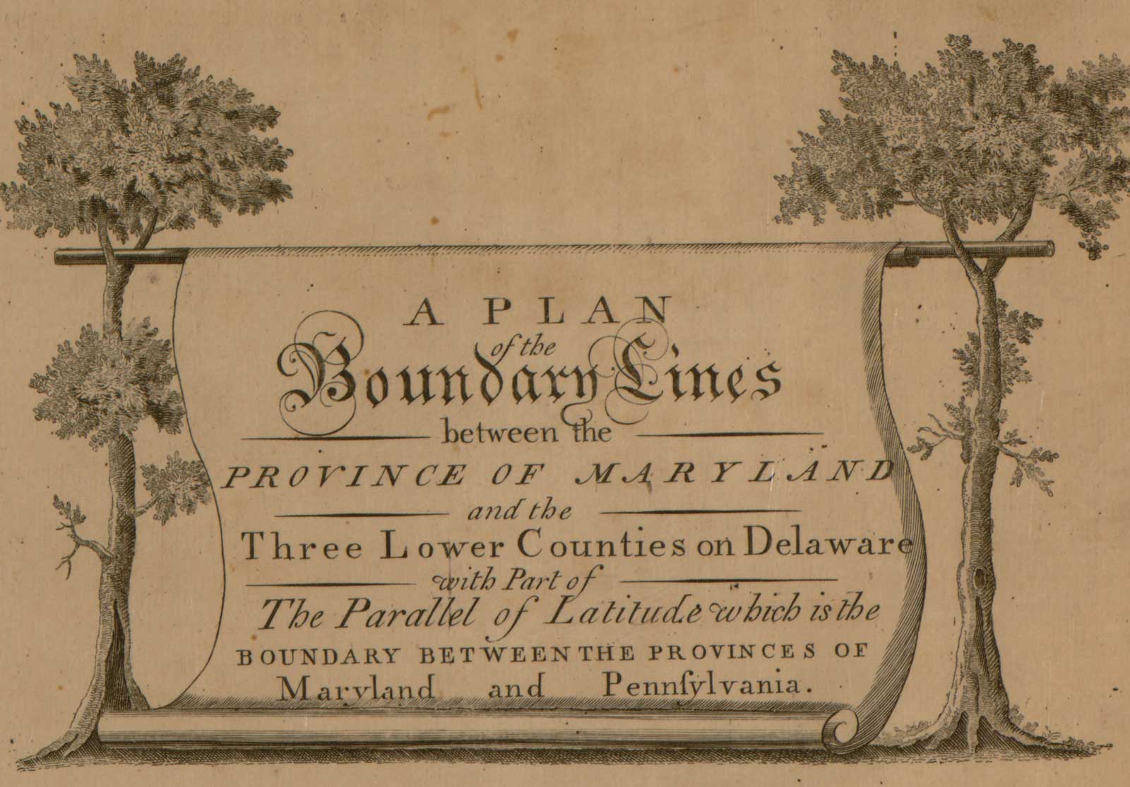
Once back in Philadelphia, Mason and Dixon immediately set to work preparing “fair copies” of their daily journals and field data for the benefit of the Penns and the Calverts. And thank goodness they did because soon after the copies were made, the original notes went missing. A century later, they turned up in a Halifax, Nova Scotia, trash heap and were eventually deposited in the National Archives in Washington, D.C. Mason and Dixon also prepared two hundred copies of an engraved copperplate map that showed the border area in great detail. And last but not least, they submitted financial statements for expenses amounting to £3,512/9s, the equivalent to nearly a million dollars today.
In their attempt to leave a dependable border that both sides could agree on, Mason and Dixon set the stage for an engineering feat that has gone down in the annals of cartography. Their estimated error of fifty-sixty feet for the 233-mile survey made it the longest, straightest line of its day. If they had been able to account for gravitational pull on their plumb bobs, no doubt the error factor would have been more in line with modern GPS surveys. Eighteenth-century crews, however, had no experimental proof of the effect of mountain mass and dense bedrock on their measuring devices and no way to account for it in their calculations.
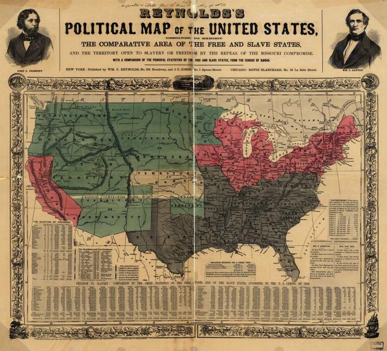
Considering the tools at their disposal and the uncharted country that they had to traverse, surely the Mason-Dixon survey is an achievement to be celebrated. To the average American, however, developments in the nineteenth century overshadowed the scientific triumphs of the eighteenth. The Mason-Dixon line is now more of a household phrase not as a technological marvel, but as a symbolic division between the northern free states and southern slave states.


